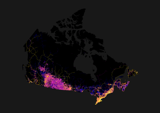
Roads in Canada (lifted from imgur)
-
The mountains keep Vancouver sprawl in check
They kind of don’t. The sprawl of the metro van region happens in Surrey, Langley etc.
-
You can see the bit northeast of Thunder Bay where there is only one single major road connecting the entire East and the entire West.
Crazy how the whole northeast of Winnipeg is mostly dead.
I always found it funny driving through Thunder Bay to Winnipeg that it was called “northern Ontario” when you’re following the US border and landing squarely in southern Manitoba.
-
Google reverse image search shows this as the original source: https://imgur.com/map-roads-of-canada-w7lDes8
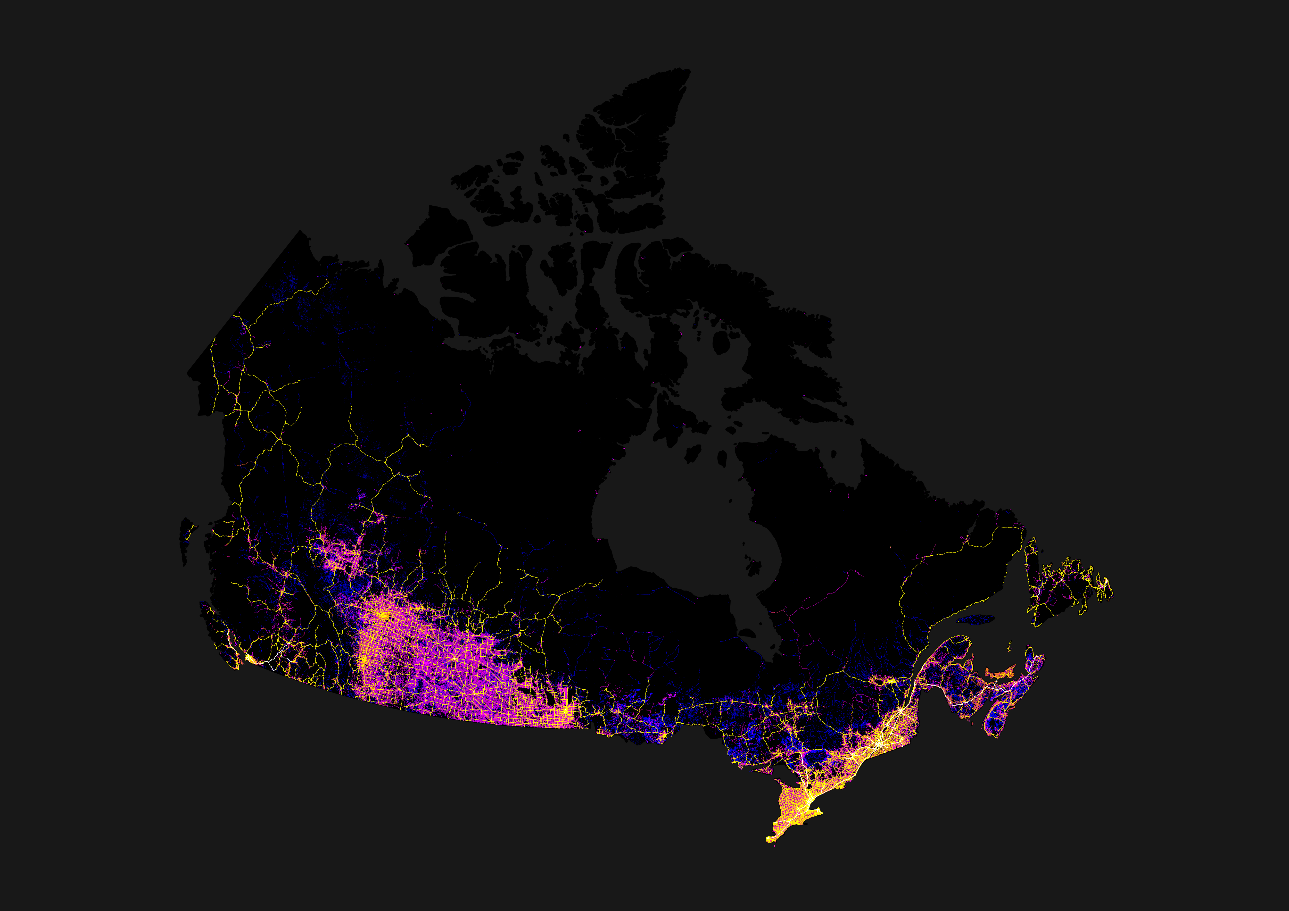
Canada’s shape looks kind of like a shark
-
You can see the bit northeast of Thunder Bay where there is only one single major road connecting the entire East and the entire West.
Manitoba should invade down that highway – see how the rest of Canada feels when the Riel Rebellion …
Ah nevermind, let bygones be bygones.